
Río La Sonta topographic map
Interactive map
Click on the map to display elevation.
About this map
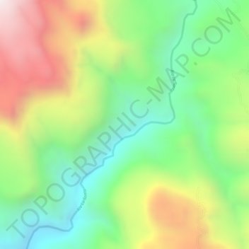
Name: Río La Sonta topographic map, elevation, terrain.
Location: Río La Sonta, Sabanagrande, Francisco Morazán, Honduras (13.79213 -87.35429 13.82117 -87.33388)
Average elevation: 582 m
Minimum elevation: 236 m
Maximum elevation: 1,033 m