
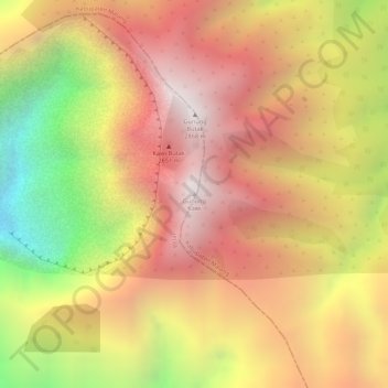
Gunung Kawi topographic map
Interactive map
Click on the map to display elevation.
About this map
Name: Gunung Kawi topographic map, elevation, terrain.
Location: Gunung Kawi, Blitar, Ost-Java, 65146, Indonesien (-7.92335 112.45175 -7.92325 112.45185)
Average elevation: 2,181 m
Minimum elevation: 1,480 m
Maximum elevation: 2,620 m