
Thank you for supporting this site ❤️
Make a donation
Make a donation
Jagatpur topographic map
Click on the map to display elevation.
Thank you for supporting this site ❤️
Make a donation
Make a donation
About this map
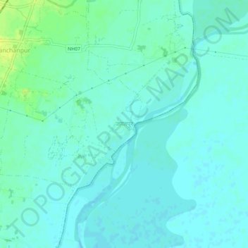
Name: Jagatpur topographic map, elevation, terrain.
Location: Jagatpur, Kanchanrup, Saptari, Madhesh Province, Nepal (26.60966 86.91494 26.64966 86.95494)
Average elevation: 86 m
Minimum elevation: 81 m
Maximum elevation: 97 m
Thank you for supporting this site ❤️
Make a donation
Make a donation
Other topographic maps
Click on a map to view its topography, its elevation and its terrain.