
Thank you for supporting this site ❤️
Make a donation
Make a donation
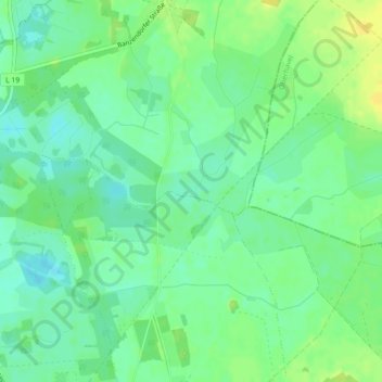
North European Plain topographic map
Click on the map to display elevation.
Thank you for supporting this site ❤️
Make a donation
Make a donation
North European Plain
Elevations vary between 0 and 200 m (0 to about 650 ft). While mostly used as farmland, the region also contains bogs, heath and lakes. The Wadden Sea, a large tidal area, is located on the North Sea coast.
Thank you for supporting this site ❤️
Make a donation
Make a donation
About this map
Name: North European Plain topographic map, elevation, terrain.
Average elevation: 54 m
Minimum elevation: 44 m
Maximum elevation: 66 m
Thank you for supporting this site ❤️
Make a donation
Make a donation