
Thank you for supporting this site ❤️
Make a donation
Make a donation
Villa Borjana topographic map
Click on the map to display elevation.
Thank you for supporting this site ❤️
Make a donation
Make a donation
About this map
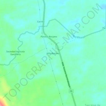
Name: Villa Borjana topographic map, elevation, terrain.
Location: Villa Borjana, San Borja, Beni, Bolivia (-15.03583 -67.09959 -14.99583 -67.05959)
Average elevation: 251 m
Minimum elevation: 230 m
Maximum elevation: 323 m
Thank you for supporting this site ❤️
Make a donation
Make a donation