
官溪 topographic map
Interactive map
Click on the map to display elevation.
About this map
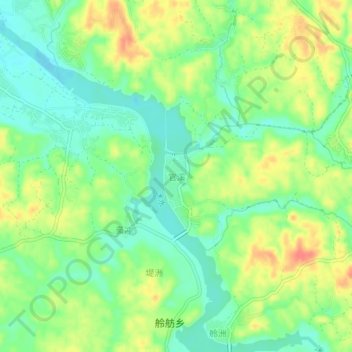
Name: 官溪 topographic map, elevation, terrain.
Location: 官溪, Chaling, Zhuzhou, Hunan, China (26.72230 113.59502 26.76230 113.63502)
Average elevation: 129 m
Minimum elevation: 105 m
Maximum elevation: 161 m