
Corges topographic map
Interactive map
Click on the map to display elevation.
About this map
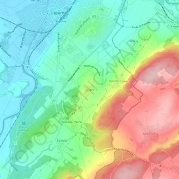
Name: Corges topographic map, elevation, terrain.
Location: Corges, Payerne, District de la Broye-Vully, Vaud, 1530, Suisse (46.78366 6.92921 46.82366 6.96921)
Average elevation: 526 m
Minimum elevation: 446 m
Maximum elevation: 666 m