
Osborne topographic map
Interactive map
Click on the map to display elevation.
About this map
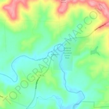
Name: Osborne topographic map, elevation, terrain.
Location: Osborne, Clayton County, Iowa, United States of America (42.77194 -91.46542 42.81194 -91.42542)
Average elevation: 269 m
Minimum elevation: 222 m
Maximum elevation: 355 m