
Thank you for supporting this site ❤️
Make a donation
Make a donation
La Ménardière topographic map
Click on the map to display elevation.
Thank you for supporting this site ❤️
Make a donation
Make a donation
About this map
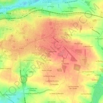
Name: La Ménardière topographic map, elevation, terrain.
Average elevation: 106 m
Minimum elevation: 63 m
Maximum elevation: 132 m
Thank you for supporting this site ❤️
Make a donation
Make a donation
Other topographic maps
Click on a map to view its topography, its elevation and its terrain.
Château de Vitré
France > Bretagne > Ille-et-Vilaine > Vitré > Hospice St Nicolas
Average elevation: 96 m
Château des Rochers-Sévigné
France > Bretagne > Ille-et-Vilaine > Vitré > Les Bas Rochers
Average elevation: 94 m