
Thank you for supporting this site ❤️
Make a donation
Make a donation
Gadani topographic map
Click on the map to display elevation.
Thank you for supporting this site ❤️
Make a donation
Make a donation
About this map
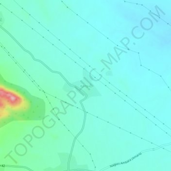
Name: Gadani topographic map, elevation, terrain.
Location: Gadani, Nakhatrana Taluka, Kachchh, Gujarat, 370625, India (23.51881 69.02693 23.55881 69.06693)
Average elevation: 79 m
Minimum elevation: 54 m
Maximum elevation: 214 m
Thank you for supporting this site ❤️
Make a donation
Make a donation