
Dhani topographic map
Click on the map to display elevation.
About this map
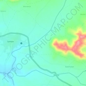
Name: Dhani topographic map, elevation, terrain.
Location: Dhani, Sailana Tahsil, Ratlam, Madhya Pradesh, India (23.48024 74.83038 23.48753 74.84444)
Average elevation: 447 m
Minimum elevation: 414 m
Maximum elevation: 535 m
Other topographic maps
Click on a map to view its topography, its elevation and its terrain.