
Thank you for supporting this site ❤️
Make a donation
Make a donation
Sindarli topographic map
Click on the map to display elevation.
Thank you for supporting this site ❤️
Make a donation
Make a donation
About this map
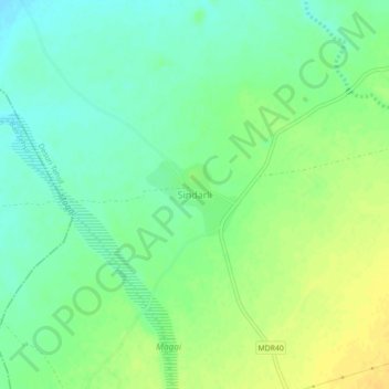
Name: Sindarli topographic map, elevation, terrain.
Location: Sindarli, Desuri Tehsil, Pali, Rajasthan, India (25.22664 73.39685 25.26664 73.43685)
Average elevation: 329 m
Minimum elevation: 317 m
Maximum elevation: 342 m
Thank you for supporting this site ❤️
Make a donation
Make a donation