
Thank you for supporting this site ❤️
Make a donation
Make a donation
Khammouane topographic map
Click on the map to display elevation.
Thank you for supporting this site ❤️
Make a donation
Make a donation
About this map
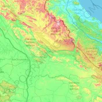
Name: Khammouane topographic map, elevation, terrain.
Location: Khammouane, Laos (16.90165 104.27040 18.26656 106.42598)
Average elevation: 339 m
Minimum elevation: -1 m
Maximum elevation: 2,212 m
Thank you for supporting this site ❤️
Make a donation
Make a donation
Other topographic maps
Click on a map to view its topography, its elevation and its terrain.