
Kunnam topographic map
Click on the map to display elevation.
About this map
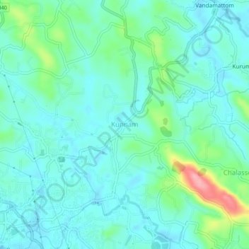
Name: Kunnam topographic map, elevation, terrain.
Location: Kunnam, Thodupuzha, Idukki, Kerala, 685605, India (9.89596 76.72346 9.93596 76.76346)
Average elevation: 54 m
Minimum elevation: 27 m
Maximum elevation: 158 m
Other topographic maps
Click on a map to view its topography, its elevation and its terrain.