
Thank you for supporting this site ❤️
Make a donation
Make a donation
Wereda topographic map
Click on the map to display elevation.
Thank you for supporting this site ❤️
Make a donation
Make a donation
About this map
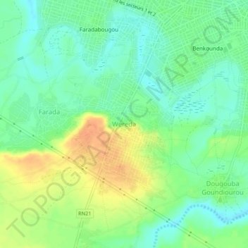
Name: Wereda topographic map, elevation, terrain.
Location: Wereda, Kayes Cercle, Kayes, Mali (14.39349 -11.47366 14.43349 -11.43366)
Average elevation: 49 m
Minimum elevation: 34 m
Maximum elevation: 71 m
Thank you for supporting this site ❤️
Make a donation
Make a donation