
St-Martin VS topographic map
Interactive map
Click on the map to display elevation.
About this map
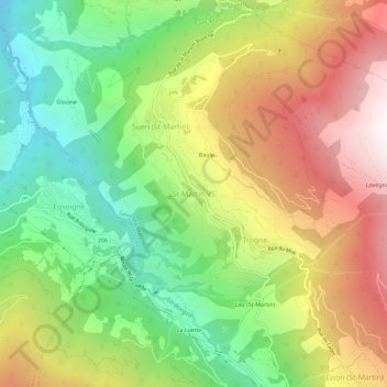
Name: St-Martin VS topographic map, elevation, terrain.
Location: St-Martin VS, Saint-Martin (VS), Hérens, Valais, 1969, Suisse (46.15337 7.42218 46.19337 7.46218)
Average elevation: 1,403 m
Minimum elevation: 649 m
Maximum elevation: 2,334 m