
Whitehill topographic map
Click on the map to display elevation.
About this map
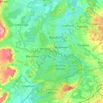
Name: Whitehill topographic map, elevation, terrain.
Location: Whitehill, East Hampshire, Hampshire, England, United Kingdom (51.05759 -0.88992 51.13823 -0.83731)
Average elevation: 95 m
Minimum elevation: 63 m
Maximum elevation: 176 m