
Urnäsch topographic map
Interactive map
Click on the map to display elevation.
About this map
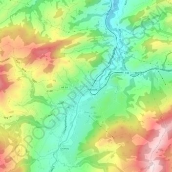
Name: Urnäsch topographic map, elevation, terrain.
Location: Urnäsch, Hinterland, Appenzell Rhodes-Extérieures, 9107, Suisse (47.29786 9.26345 47.33786 9.30345)
Average elevation: 959 m
Minimum elevation: 771 m
Maximum elevation: 1,223 m