
Glastonbury topographic map
Interactive map
Click on the map to display elevation.
About this map
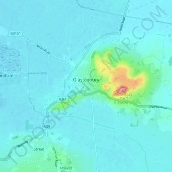
Name: Glastonbury topographic map, elevation, terrain.
Average elevation: 15 m
Minimum elevation: 1 m
Maximum elevation: 148 m
Other topographic maps
Click on a map to view its topography, its elevation and its terrain.
Shepton Mallet
United Kingdom > England > Somerset > Mendip District > Shepton Mallet
Shepton Mallet, Mendip District, Somerset, South West England, England, United Kingdom
Average elevation: 173 m