
Azle topographic map
Interactive map
Click on the map to display elevation.
About this map
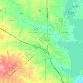
Name: Azle topographic map, elevation, terrain.
Location: Azle, Parker County, Texas, 76020, États-Unis d'Amérique (32.86002 -97.59121 32.96028 -97.50872)
Average elevation: 227 m
Minimum elevation: 177 m
Maximum elevation: 317 m