
Yagen topographic map
Interactive map
Click on the map to display elevation.
About this map
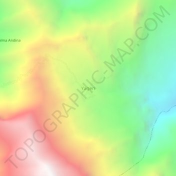
Name: Yagen topographic map, elevation, terrain.
Location: Yagen, Cortegana, Celendín, Cajamarca, Pérou (-6.53064 -78.27731 -6.49064 -78.23731)
Average elevation: 2,580 m
Minimum elevation: 1,669 m
Maximum elevation: 3,641 m