
Híjar topographic map
Interactive map
Click on the map to display elevation.
About this map
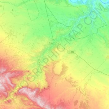
Name: Híjar topographic map, elevation, terrain.
Location: Híjar, Bajo Martín, Teruel, Aragon, 44530, Spain (41.03296 -0.66922 41.24818 -0.29249)
Average elevation: 406 m
Minimum elevation: 116 m
Maximum elevation: 874 m