
Tlahuapa topographic map
Interactive map
Click on the map to display elevation.
About this map
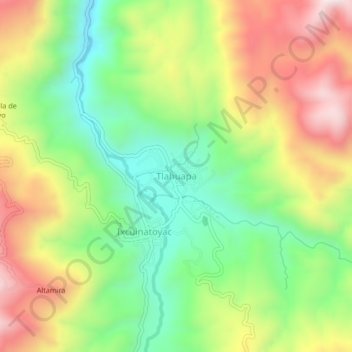
Name: Tlahuapa topographic map, elevation, terrain.
Location: Tlahuapa, Alcozauca de Guerrero, Guerrero, México (17.35577 -98.35897 17.39577 -98.31897)
Average elevation: 1,821 m
Minimum elevation: 1,515 m
Maximum elevation: 2,211 m