
Thank you for supporting this site ❤️
Make a donation
Make a donation
Brush Mountain topographic map
Click on the map to display elevation.
Thank you for supporting this site ❤️
Make a donation
Make a donation
About this map
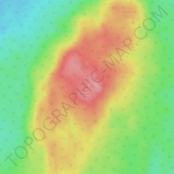
Name: Brush Mountain topographic map, elevation, terrain.
Location: Brush Mountain, Big Lakes County, Alberta, Canada (55.02381 -116.61761 55.02391 -116.61751)
Average elevation: 908 m
Minimum elevation: 852 m
Maximum elevation: 967 m
Thank you for supporting this site ❤️
Make a donation
Make a donation
Other topographic maps
Click on a map to view its topography, its elevation and its terrain.