
Thank you for supporting this site ❤️
Make a donation
Make a donation
Filot topographic map
Click on the map to display elevation.
Thank you for supporting this site ❤️
Make a donation
Make a donation
About this map
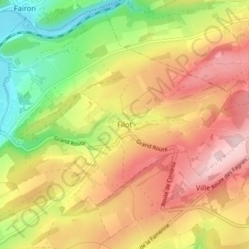
Name: Filot topographic map, elevation, terrain.
Location: Filot, Hamoir, Huy, Liège, Wallonie, 4180, Belgique (50.40675 5.54805 50.44675 5.58805)
Average elevation: 231 m
Minimum elevation: 106 m
Maximum elevation: 343 m
Thank you for supporting this site ❤️
Make a donation
Make a donation
Other topographic maps
Click on a map to view its topography, its elevation and its terrain.
Thank you for supporting this site ❤️
Make a donation
Make a donation