
Sarh topographic map
Interactive map
Click on the map to display elevation.
About this map
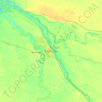
Name: Sarh topographic map, elevation, terrain.
Location: Sarh, Region Mittel-Schari, Tschad (8.98065 18.23380 9.30065 18.55380)
Average elevation: 365 m
Minimum elevation: 355 m
Maximum elevation: 374 m