
Mohanpur topographic map
Interactive map
Click on the map to display elevation.
About this map
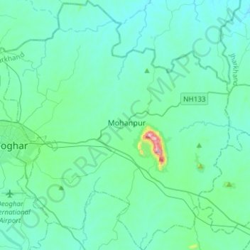
Name: Mohanpur topographic map, elevation, terrain.
Location: Mohanpur, Deoghar District, Jharkhand, Indien (24.39541 86.69065 24.61962 86.91718)
Average elevation: 236 m
Minimum elevation: 176 m
Maximum elevation: 719 m
Other topographic maps
Click on a map to view its topography, its elevation and its terrain.