
Brightwood topographic map
Click on the map to display elevation.
About this map
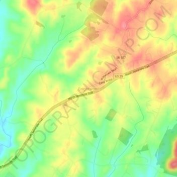
Name: Brightwood topographic map, elevation, terrain.
Location: Brightwood, Madison County, Virginia, 22715, United States (38.40152 -78.21361 38.44152 -78.17361)
Average elevation: 162 m
Minimum elevation: 122 m
Maximum elevation: 199 m