
Dorpheide topographic map
Interactive map
Click on the map to display elevation.
About this map
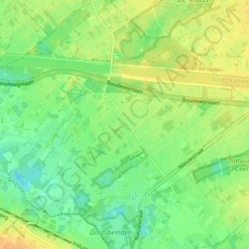
Name: Dorpheide topographic map, elevation, terrain.
Average elevation: 41 m
Minimum elevation: 26 m
Maximum elevation: 56 m
Other topographic maps
Click on a map to view its topography, its elevation and its terrain.
Rooierheide
België > Limburg > Hasselt > Diepenbeek
Rooierheide, Diepenbeek, Hasselt, Limburg, Vlaanderen, 3590, België
Average elevation: 40 m