
Thank you for supporting this site ❤️
Make a donation
Make a donation
Egelston Township topographic map
Click on the map to display elevation.
Thank you for supporting this site ❤️
Make a donation
Make a donation
About this map
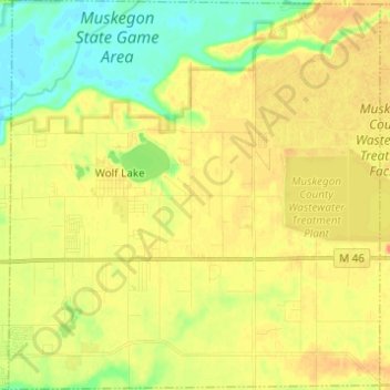
Name: Egelston Township topographic map, elevation, terrain.
Location: Egelston Township, Muskegon County, Michigan, United States (43.20502 -86.14493 43.29442 -86.02780)
Average elevation: 202 m
Minimum elevation: 176 m
Maximum elevation: 227 m
Thank you for supporting this site ❤️
Make a donation
Make a donation
Other topographic maps
Click on a map to view its topography, its elevation and its terrain.