
Thank you for supporting this site ❤️
Make a donation
Make a donation
Strehla topographic map
Click on the map to display elevation.
Thank you for supporting this site ❤️
Make a donation
Make a donation
About this map
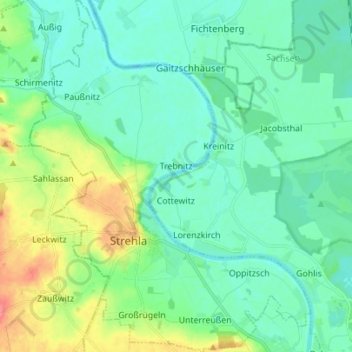
Name: Strehla topographic map, elevation, terrain.
Location: Strehla, Meißen, Saksen, 01616, Duitsland (51.32461 13.18183 51.41123 13.29287)
Average elevation: 101 m
Minimum elevation: 85 m
Maximum elevation: 148 m
Thank you for supporting this site ❤️
Make a donation
Make a donation
Other topographic maps
Click on a map to view its topography, its elevation and its terrain.