
Sunset topographic map
Click on the map to display elevation.
About this map
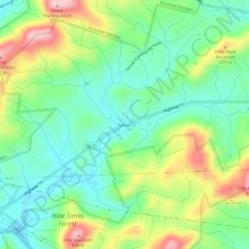
Name: Sunset topographic map, elevation, terrain.
Location: Sunset, Pickens County, South Carolina, 29685, United States (34.95761 -82.81903 34.99761 -82.77903)
Average elevation: 382 m
Minimum elevation: 293 m
Maximum elevation: 549 m