
Albinen topographic map
Interactive map
Click on the map to display elevation.
About this map
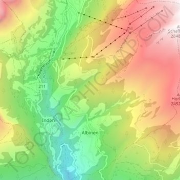
Name: Albinen topographic map, elevation, terrain.
Location: Albinen, Leuk, Wallis, 3955, Schweiz (46.32745 7.61533 46.37732 7.67087)
Average elevation: 1,698 m
Minimum elevation: 766 m
Maximum elevation: 2,837 m
Other topographic maps
Click on a map to view its topography, its elevation and its terrain.
Naturpark Pfyn-Finges
Naturpark Pfyn-Finges, Leuk, Wallis, Schweiz
Average elevation: 1,987 m