
Thank you for supporting this site ❤️
Make a donation
Make a donation
Elmwood topographic map
Click on the map to display elevation.
Thank you for supporting this site ❤️
Make a donation
Make a donation
About this map
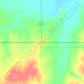
Name: Elmwood topographic map, elevation, terrain.
Location: Elmwood, Beaver County, Oklahoma, United States (36.59650 -100.54258 36.63650 -100.50258)
Average elevation: 814 m
Minimum elevation: 784 m
Maximum elevation: 856 m
Thank you for supporting this site ❤️
Make a donation
Make a donation