
Les Diablerets topographic map
Interactive map
Click on the map to display elevation.
About this map
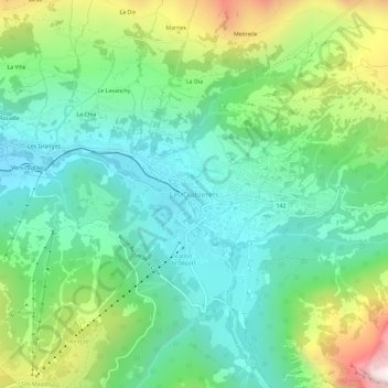
Name: Les Diablerets topographic map, elevation, terrain.
Location: Les Diablerets, District d'Aigle, Waadland, 1865, Zwitserland (46.33110 7.13664 46.37110 7.17664)
Average elevation: 1,453 m
Minimum elevation: 1,110 m
Maximum elevation: 2,257 m