
Montgarrie topographic map
Interactive map
Click on the map to display elevation.
About this map
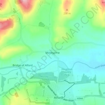
Name: Montgarrie topographic map, elevation, terrain.
Location: Montgarrie, Aberdeenshire, Escocia, AB33 8AP, Reino Unido (57.22896 -2.72580 57.26896 -2.68580)
Average elevation: 163 m
Minimum elevation: 122 m
Maximum elevation: 279 m