
Sungai Sendayan topographic map
Interactive map
Click on the map to display elevation.
About this map
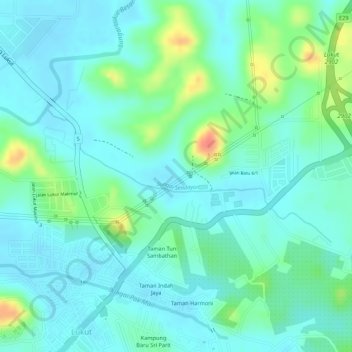
Name: Sungai Sendayan topographic map, elevation, terrain.
Location: Sungai Sendayan, Port Dickson, Malaysia (2.57855 101.82899 2.58301 101.84355)
Average elevation: 16 m
Minimum elevation: 1 m
Maximum elevation: 58 m