
Fays topographic map
Interactive map
Click on the map to display elevation.
About this map
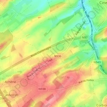
Name: Fays topographic map, elevation, terrain.
Location: Fays, Ciney, Namur, Wallonie, 5590, Belgique (50.25740 5.05112 50.29740 5.09112)
Average elevation: 277 m
Minimum elevation: 233 m
Maximum elevation: 318 m