
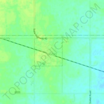
Isabel topographic map
Interactive map
Click on the map to display elevation.
About this map
Name: Isabel topographic map, elevation, terrain.
Location: Isabel, Barber County, Kansas, United States (37.46354 -98.55611 37.47078 -98.54693)
Average elevation: 562 m
Minimum elevation: 555 m
Maximum elevation: 568 m