
Lobberich topographic map
Interactive map
Click on the map to display elevation.
Lobberich
Lobberich ligt in het dal van de Nette, op een hoogte van ongeveer 50 meter. In het dal liggen een aantal vijvers.
About this map
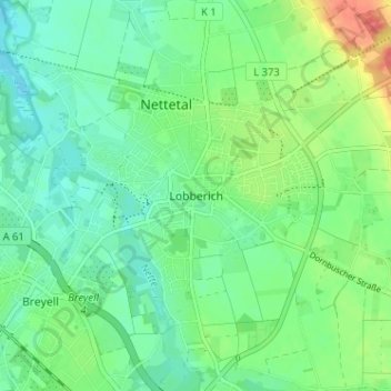
Name: Lobberich topographic map, elevation, terrain.
Average elevation: 51 m
Minimum elevation: 33 m
Maximum elevation: 89 m