
Ndogbele topographic map
Interactive map
Click on the map to display elevation.
About this map
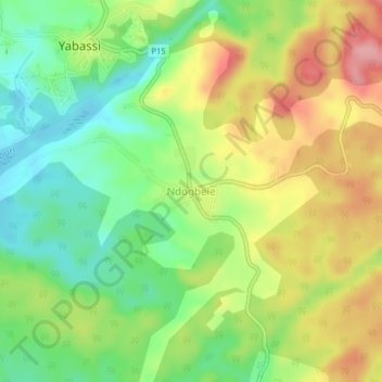
Name: Ndogbele topographic map, elevation, terrain.
Location: Ndogbele, Yabassi, Nkam, Région du Littoral, Cameroun (4.42517 9.96263 4.46517 10.00263)
Average elevation: 66 m
Minimum elevation: 7 m
Maximum elevation: 141 m