
Thank you for supporting this site ❤️
Make a donation
Make a donation
Wilton Springs topographic map
Click on the map to display elevation.
Thank you for supporting this site ❤️
Make a donation
Make a donation
About this map
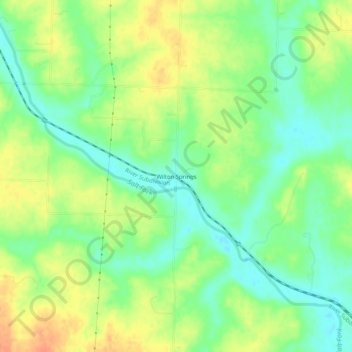
Name: Wilton Springs topographic map, elevation, terrain.
Location: Wilton Springs, Saline County, Missouri, United States (39.05530 -93.14020 39.09530 -93.10020)
Average elevation: 208 m
Minimum elevation: 189 m
Maximum elevation: 230 m
Thank you for supporting this site ❤️
Make a donation
Make a donation
Other topographic maps
Click on a map to view its topography, its elevation and its terrain.