
Thank you for supporting this site ❤️
Make a donation
Make a donation
Green Pond topographic map
Click on the map to display elevation.
Thank you for supporting this site ❤️
Make a donation
Make a donation
About this map
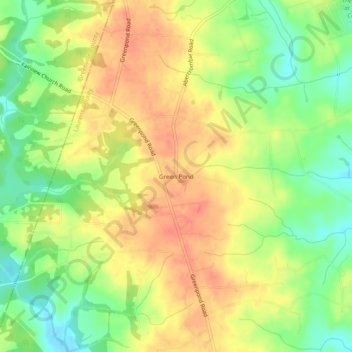
Name: Green Pond topographic map, elevation, terrain.
Location: Green Pond, Laurens County, South Carolina, United States (34.60318 -82.22317 34.64318 -82.18317)
Average elevation: 233 m
Minimum elevation: 205 m
Maximum elevation: 256 m
Thank you for supporting this site ❤️
Make a donation
Make a donation
Other topographic maps
Click on a map to view its topography, its elevation and its terrain.