
Surat topographic map
Interactive map
Click on the map to display elevation.
About this map
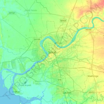
Name: Surat topographic map, elevation, terrain.
Location: Surat, Katargam Taluka, Surate, Gujarat, 395008, Inde (21.04949 72.67171 21.36949 72.99171)
Average elevation: 13 m
Minimum elevation: -3 m
Maximum elevation: 38 m