
Sidama topographic map
Interactive map
Click on the map to display elevation.
About this map
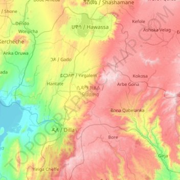
Name: Sidama topographic map, elevation, terrain.
Location: Sidama, Éthiopie (6.14102 38.00185 7.16744 39.13518)
Average elevation: 2,069 m
Minimum elevation: 1,174 m
Maximum elevation: 3,303 m