
Thank you for supporting this site ❤️
Make a donation
Make a donation
Bakersfield topographic map
Click on the map to display elevation.
Thank you for supporting this site ❤️
Make a donation
Make a donation
About this map
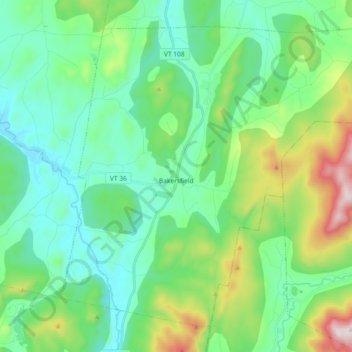
Name: Bakersfield topographic map, elevation, terrain.
Location: Bakersfield, Franklin County, Vermont, 05441, United States (44.72809 -72.86148 44.83937 -72.67838)
Average elevation: 288 m
Minimum elevation: 109 m
Maximum elevation: 842 m
Thank you for supporting this site ❤️
Make a donation
Make a donation