
Wilson topographic map
Click on the map to display elevation.
About this map
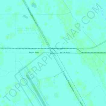
Name: Wilson topographic map, elevation, terrain.
Location: Wilson, Brevard County, Florida, United States (28.62333 -80.71644 28.66333 -80.67644)
Average elevation: 2 m
Minimum elevation: -1 m
Maximum elevation: 4 m
Other topographic maps
Click on a map to view its topography, its elevation and its terrain.