
Thank you for supporting this site ❤️
Make a donation
Make a donation
Sastri Nagar topographic map
Click on the map to display elevation.
Thank you for supporting this site ❤️
Make a donation
Make a donation
About this map
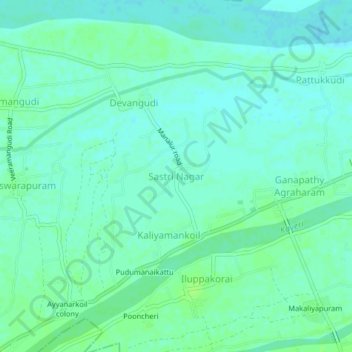
Name: Sastri Nagar topographic map, elevation, terrain.
Average elevation: 37 m
Minimum elevation: 32 m
Maximum elevation: 42 m
Thank you for supporting this site ❤️
Make a donation
Make a donation
Other topographic maps
Click on a map to view its topography, its elevation and its terrain.
Ayyampettai
India > Tamil Nadu > Papanasam
Ayyampettai is located at 10°53′48″N 79°11′20″E / 10.896544°N 79.188978°E / 10.896544; 79.188978. It has an average elevation of 116 feet.
Average elevation: 38 m