
Rottumerplaat topographic map
Click on the map to display elevation.
About this map
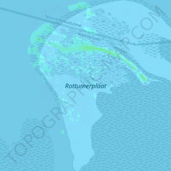
Name: Rottumerplaat topographic map, elevation, terrain.
Location: Rottumerplaat, Warffum, Het Hogeland, Groningen, Netherlands (53.51266 6.46404 53.55349 6.52936)
Average elevation: 0 m
Minimum elevation: -7 m
Maximum elevation: 6 m