
Knauthain topographic map
Click on the map to display elevation.
About this map
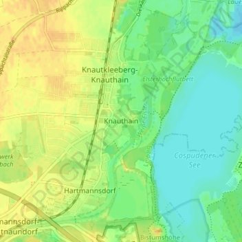
Name: Knauthain topographic map, elevation, terrain.
Location: Knauthain, Leipzig, Saxony, 04249, Germany (51.25335 12.29443 51.29335 12.33443)
Average elevation: 117 m
Minimum elevation: 104 m
Maximum elevation: 129 m